Key West FL to Deadhorse AK


Road Dust
American Rat Rider


<< Previous 1 2 3 4 5 6 Next >>   
Key West to the Wilds of Canada and Alaska

May 27, 2010
Miles: 317
Dirt miles: 201
Total miles: 5,543
Time on Road: 11 hours

Hay River, Northwest Territories to Ft Simpson, Northwest Territories


The day started the same as yesterday, 30's in the morning and then high 60's in the afternoon.

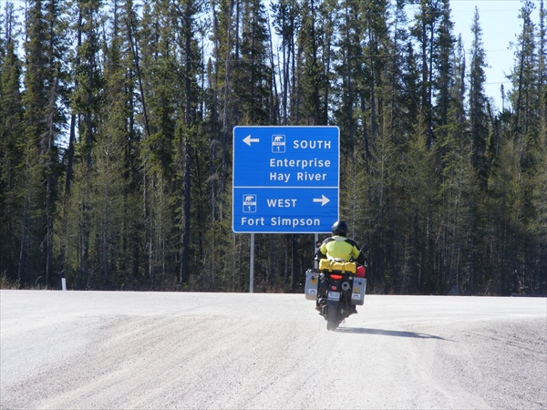
We left around 7:00 am and backtracked south to Enterprise for gas. We were too early and they were not open yet. We did not have the range to make it from Enterprise to Ft Simpson so we either had to wait until the station opened or detour up to Ft Providence which would entail 20 miles up, a ferry crossing, get gas, ferry crossing, and 20 miles back down to the Mackenzie again. Preferring to be riding to sitting, we opted for Ft Providence.

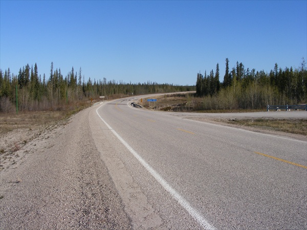
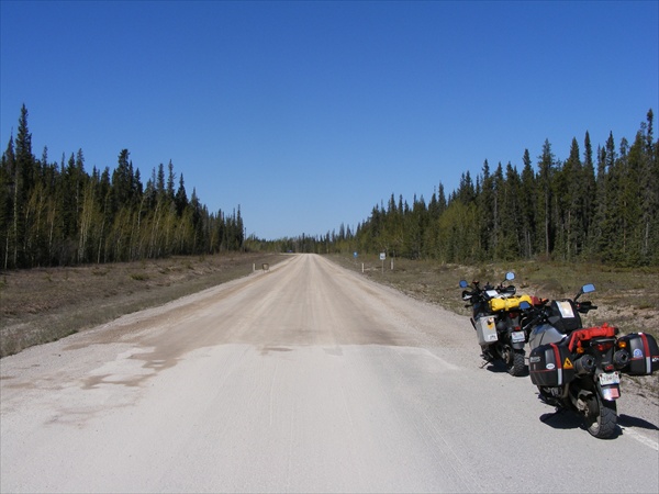
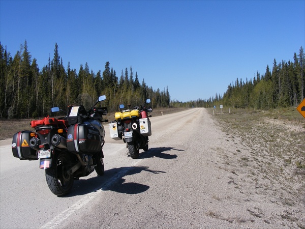
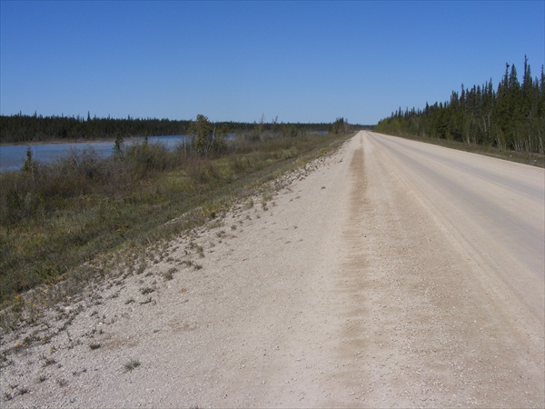
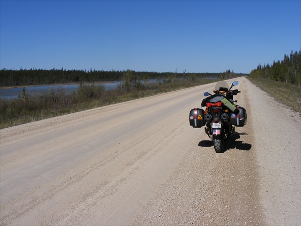
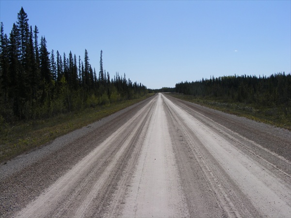
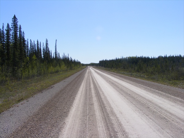
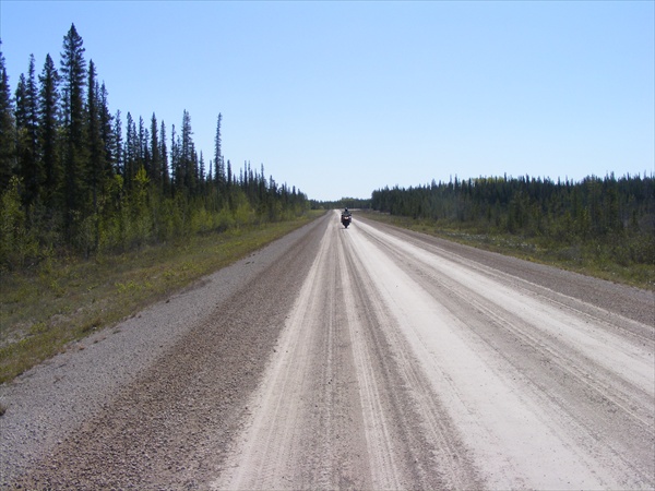
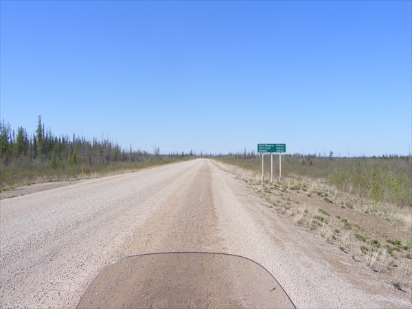
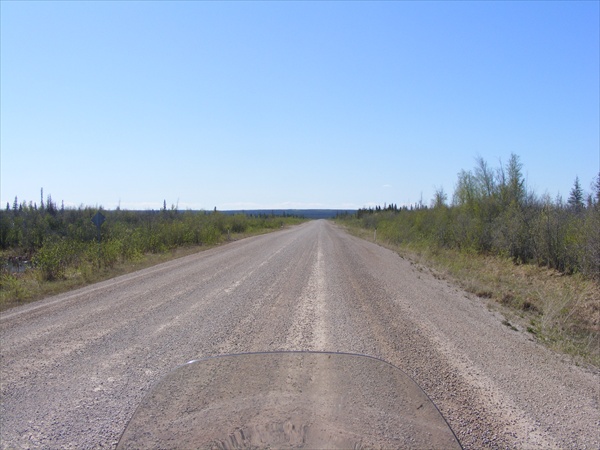
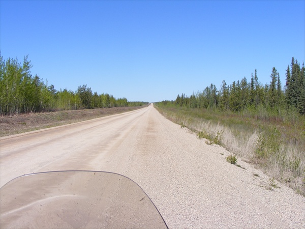
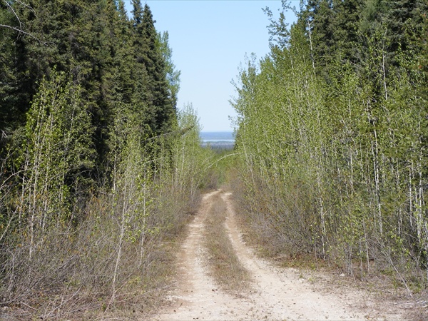
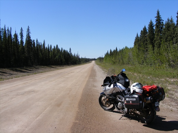
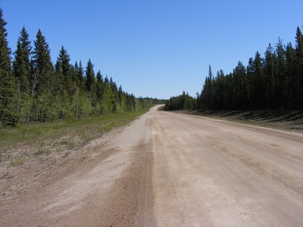
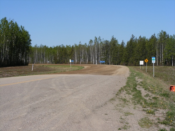
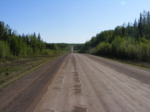
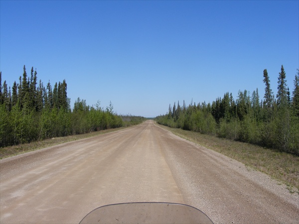
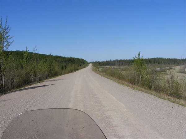
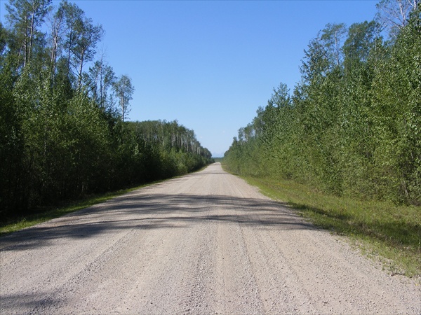
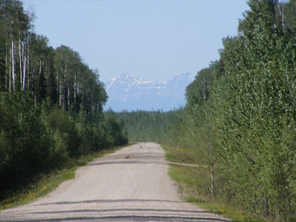
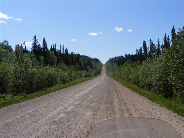
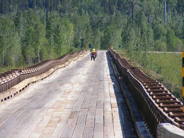
Leaving Enterprise it was not long until we hit the dirt on the Mackenzie. Road conditions were good, hard pack with only a few sections of loose gravel.

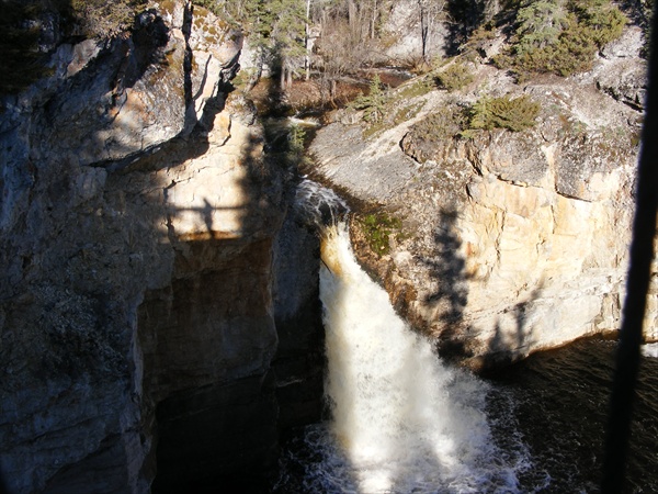
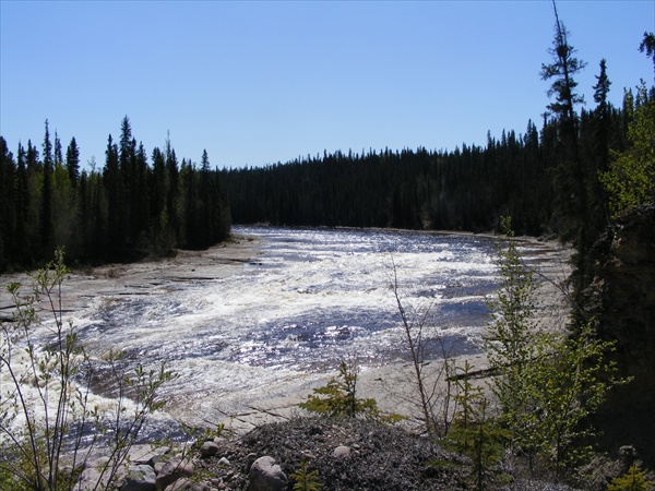
First waterfall of the day
MacKenzie Highway
Northwest Territories


Back on the road
Hwy 1
Northwest Territories


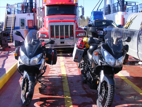
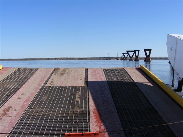
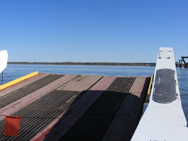
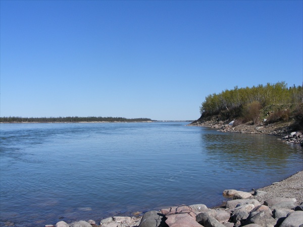
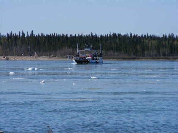
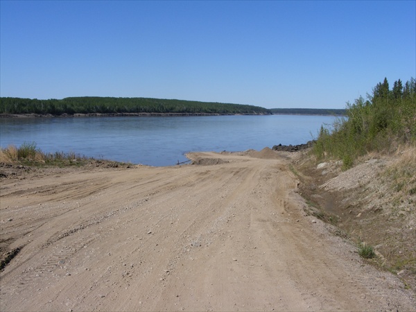
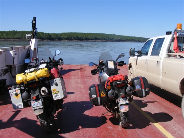
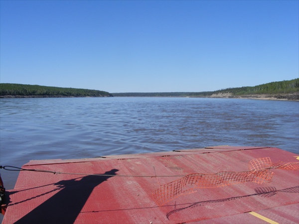
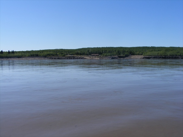
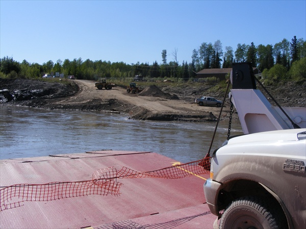
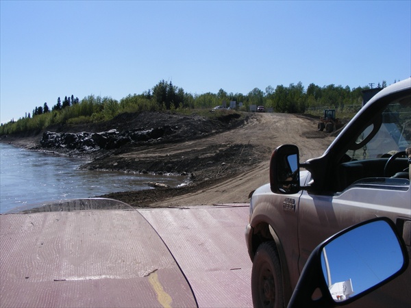
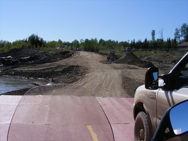
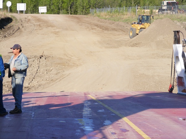
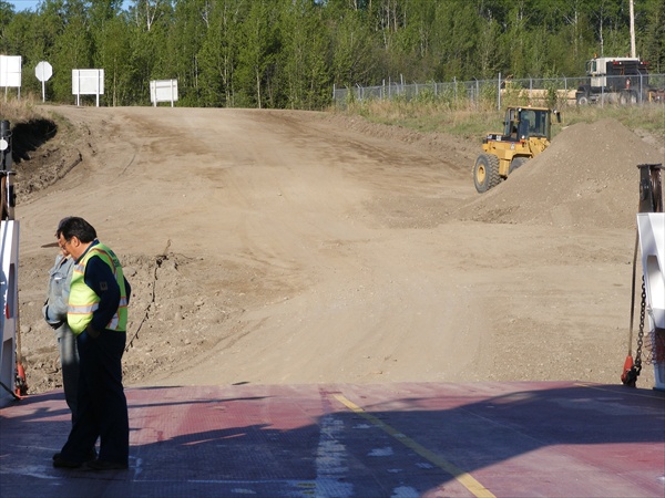
We turned north and headed toward Ft Providence. We arrived at the Mackenzie River and as luck would have it, the ferry was on our side of the river. The ferry landing is loose dirt that they push down to the river on an almost continual basis. The ramp from the ferry then plows into the pile of dirt. When loading, you go from loose dirt to a wet steel deck. Both bikes maintained and upright position and were loaded and ready for the ride across the river. Ice was still floating down the river.


Ferry crossing to Ft Providence for gas
MacKenzie River
Northwest Territories


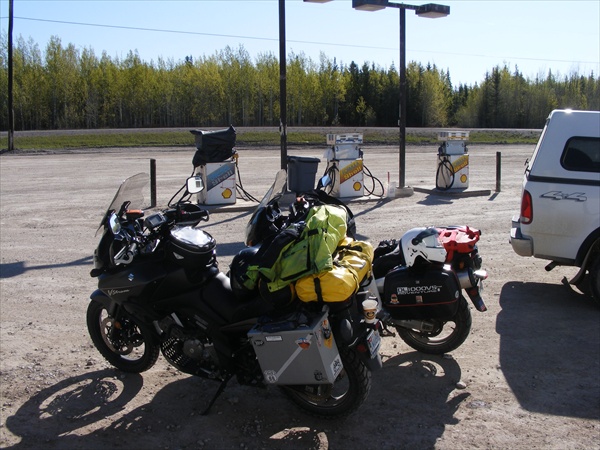
Unloading from the ferry was just as much fun. We found the nearest gas station, filled the tanks, and then returned to the ferry for another crossing. Two ferry crossing and no dirt naps for the bikes. Life is good.


Gas Stop
Fort Providence
Northwest Territories


Fort Providence is still up river


Waiting on the ferry to come back across the river.


Back to the MacKenzie Highway and on to Ft Simpson


The MacKenzie Highway
Northwest Territories


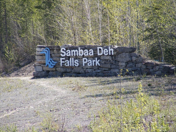
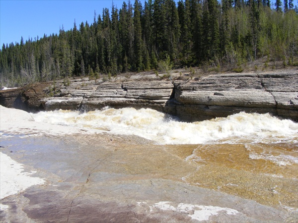
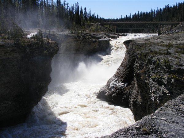
We made a couple more stops at some very interesting waterfalls.


Sambaa Deh Falls Park
Northwest Territories


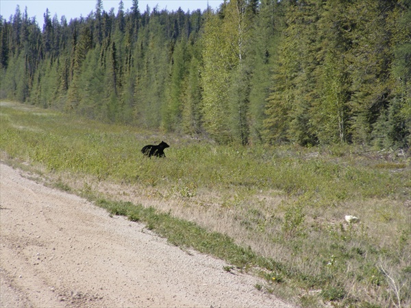
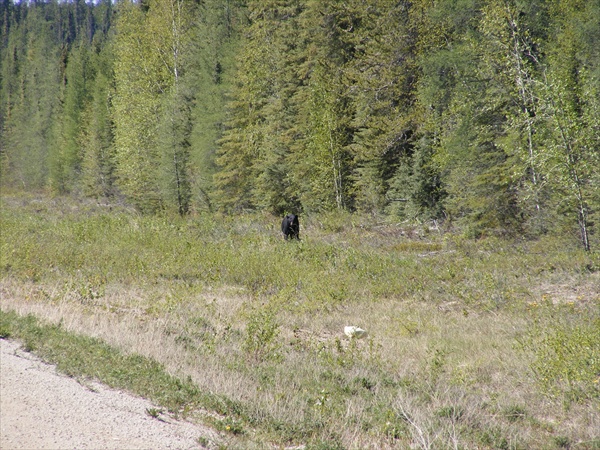
Later in the day a black bear decided to cross the road and then stopped in the middle of the road. We stopped the bikes and Jack was in the lead. It appeared that the bear started studying Jack and that he was wondering if Jack would be available for dinner. Apparently the bear did not care for Hi-Viz in his diet so he moved on across the road and disappeared into the woods.


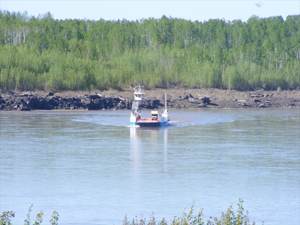
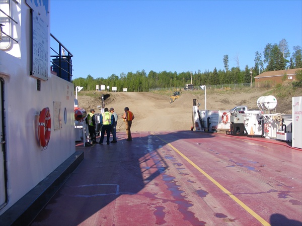
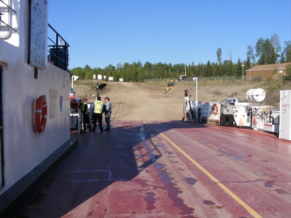
Before arriving in Ft Simpson, we came to our third ferry crossing for the day. This one a little more interesting than the first two, but still no dirt naps for the bikes.


Waiting on the ferry to return
Liard River
Northwest Territories


Ramp way to the ferry


Ferry returning across the river


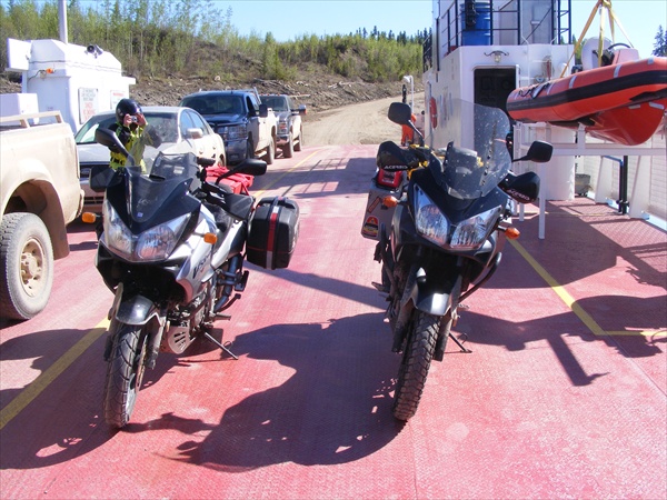
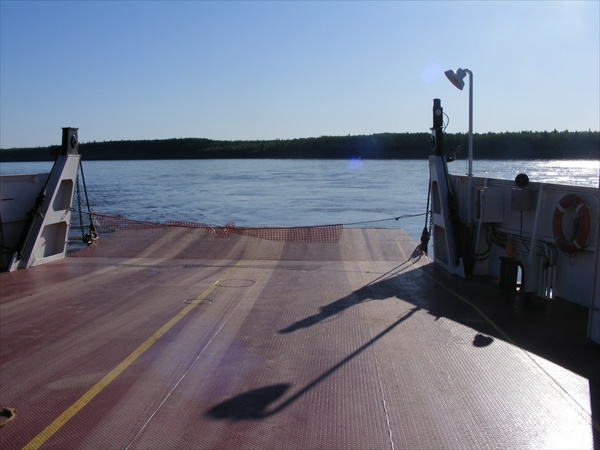
On board and riding the ferry across the river


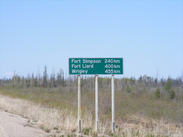
Tomorrow we will backtrack south again and will attempt the Liard Hwy. Local reports are mixed but it seems that the Liard is going to be “soft” and will not be as good of a road surface as the Mackenzie.

Key West to the Wilds of Canada and Alaska
May 28
Miles: 316
Dirt miles: 140
Total miles: 5,859
Time on Road: 10 hours

Ft Simpson, Northwest Territories to Ft Nelson, British Columbia


It seems that there are not a lot of bikes that ride this section of the NWT. Everyone is very friendly to us. We have had cars pass us and the people inside taking our picture. At the ferry crossing we were asked to stand beside our bikes so a lady could take our picture. Last night at dinner one individual bought us beers because we were “real riders”. People go out of their way to come over and talk to us. This morning, one individual saw our bikes at the motel as we were getting ready to leave and stopped to say hello.

Weather was somewhat warmer today than it was yesterday. By mid morning I was down to just the mesh Jacket and pants with the liners.


Getting ready to leave Ft Simpson


Ft Simpson

Leaving Ft Simpson we turned south toward the Liard. About 5 miles down the road we saw our first bear of the day. On to the river and the ferry was on our side of the river. Easy boarding and soon we were across the river and on our way to the Liard.


Waiting on the ferry to depart


Crossing the Liard


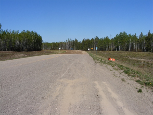
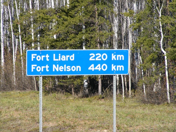
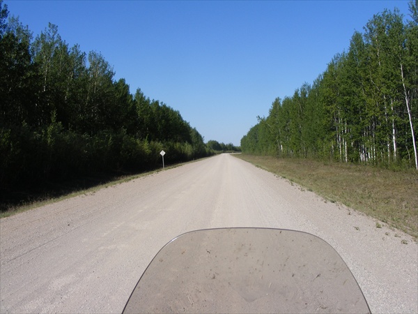
The Liard Highway soon proved to be much different and harder than the MacKenzie. The hard pack had almost completely disappeared and was replaced with loose gravel. Coming to the first “soft” section, we were able to ride through with no real problems. For me, the soft sections were easier to get through than some of the areas that had deeper loose gravel. About half way down the Lair there was a buffalo in the road. Later there was another black bear lounging on the side of the road watching the traffic go by.


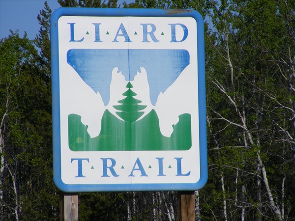
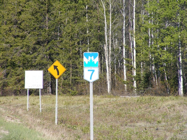
The Liard Trail


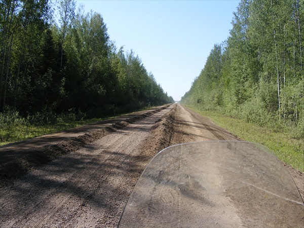
I had my first experience with graders and berms today. I came upon a section of the road where a grader was grading the road and piling up dirt berms 1+ feet high. There were two berms on the road which divided the road into 3 lanes. Looking down the road I could see the grader in the right lane, so I decided to try the center lane. I did not get too far until I realized that there was a water truck in the center lane coming toward me. The truck was bigger than me so I had to go over the berm on my right and into the right hand lane which was actually the shoulder of the road. It did not take me too long to catch up with the grader. I had to cross the berm again back into the center lane, but this time with an up hill incline. Front tire goes over with no problem. Rear tire goes over and then fish tails down the back side of the berm. Lucky save. Still no dirt nap for the bike (yet).


Berms from the graders


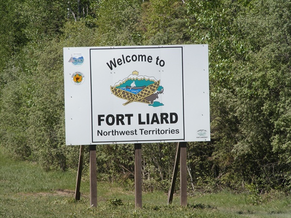
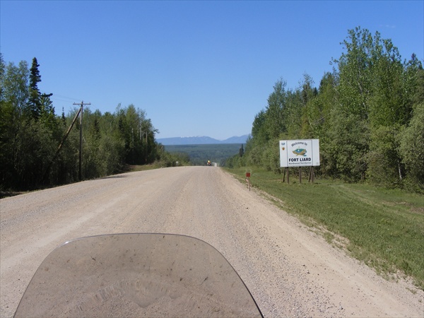
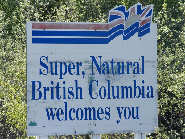
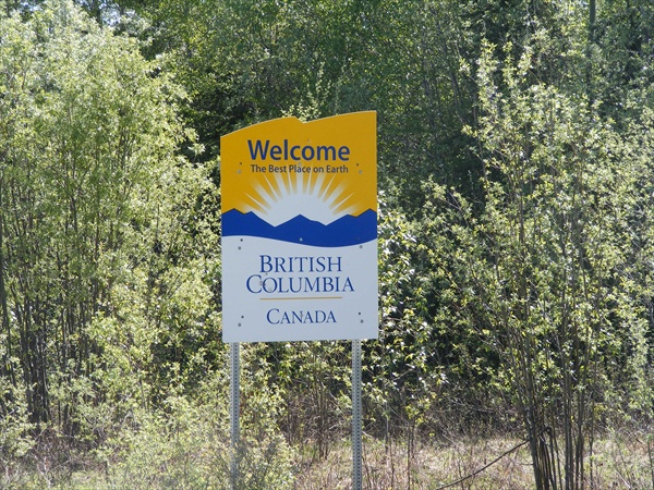
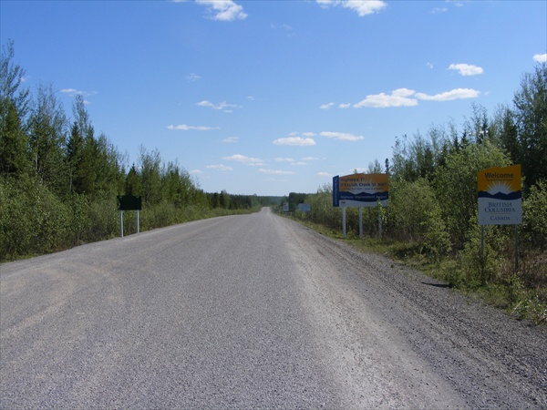
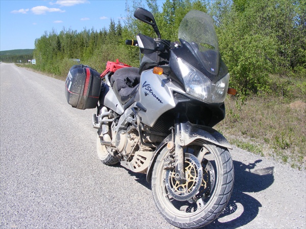
Continuing south we made a gas stop in Ft Liard and then about 25 miles later was the end of the dirt and we crossed into British Columbia. Another 30 miles and we were at the Alaska Highway, the “real” route to Alaska. Turning back east to find lodging in Ft Nelson we immediately noticed RVs, campers, and Harleys. We had not seen another bike for the last few days and now cruisers were numerous.


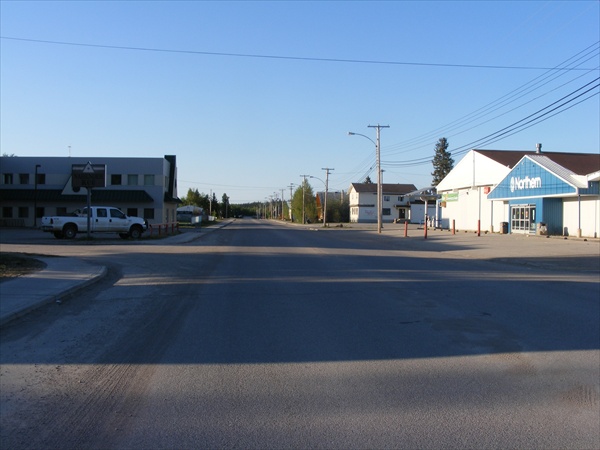
Fort Liard


Entering British Columbia


Not quite as clean as she use to be


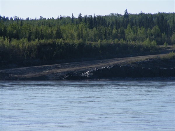
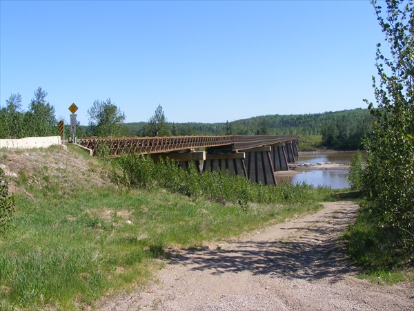
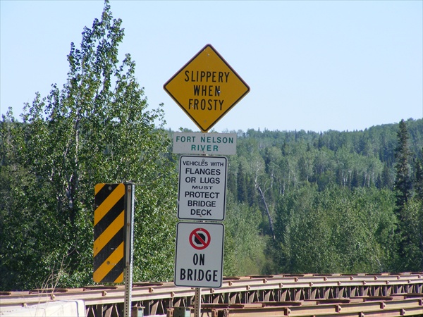
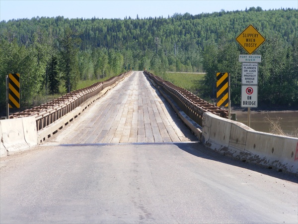
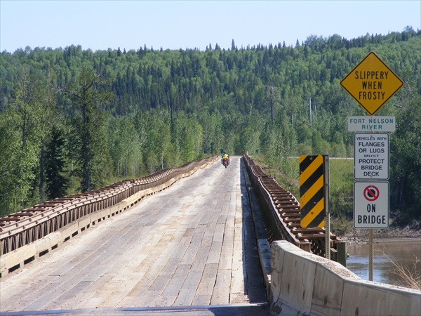
Fort Nelson River


Key West to the Wilds of Canada and Alaska

May 29, 2010
Miles: 334
Total miles: 6,193
Time on Road: 7 hours 30 minutes

Ft Nelson, British Columbia to Watson Lake, Yukon


It is hard to believe that the days can get any better than today.

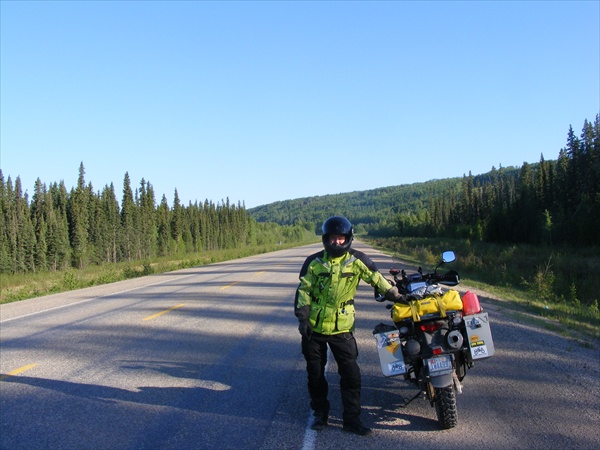
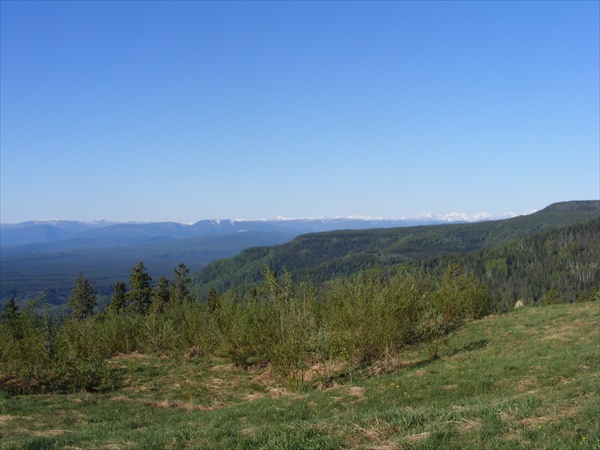
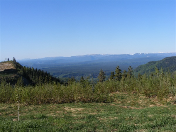
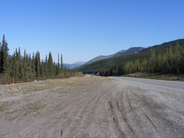
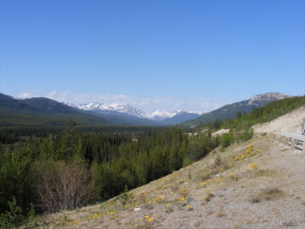
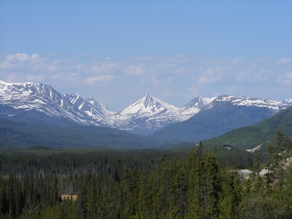
We headed out toward the NE this morning, finally getting back on track on our northern route. Mountain tops covered in snow were in view to the west. Less than an hour and we started to climb in altitude. Up in the mountains, down into the valleys, curves, curves, sweepers, river crossings. What more does a bike need? Just awesome scenery and good roads. Biggest problem is that you keep having to stop to take pictures. Can't wait to do it again.


Alcan Highway
British Columbia


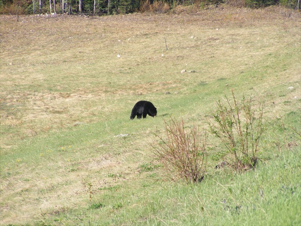
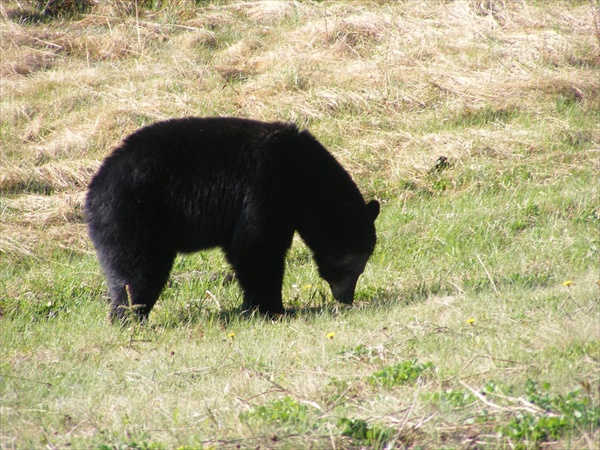
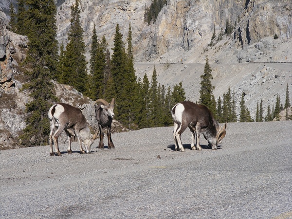
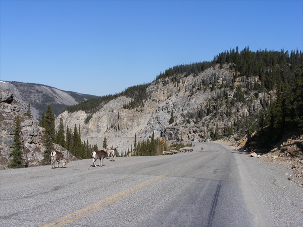
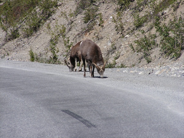
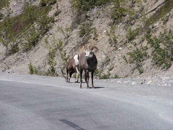
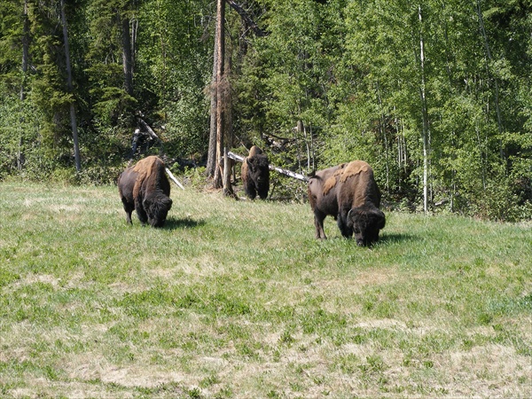
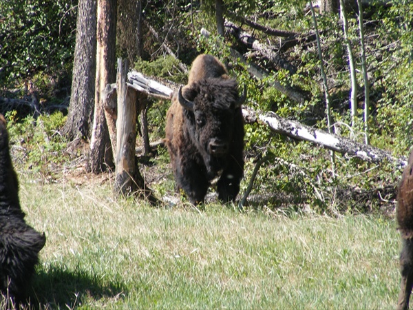
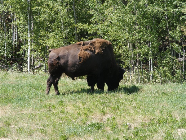
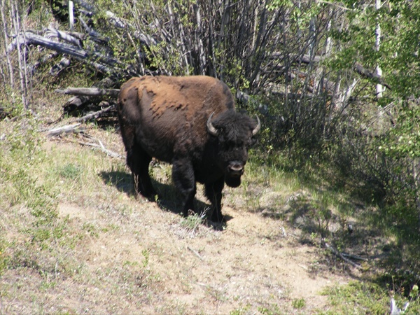
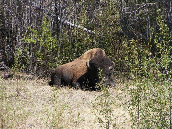
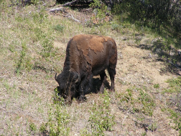
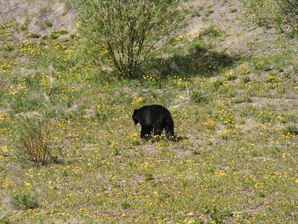
Critter count, too many to remember. Black bear: 8+ (including one brown black bear), Woods Buffalo: 18+, Bighorn sheep: 25+.


Black Bear


Big Horn Sheep


Alcan Highway
British Columbia


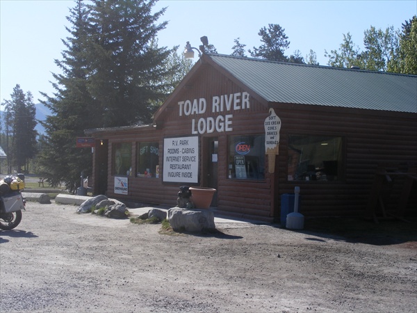
Toad River Lodge
British Columbia


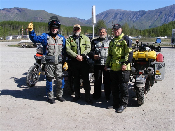
Met a couple of riders from South America


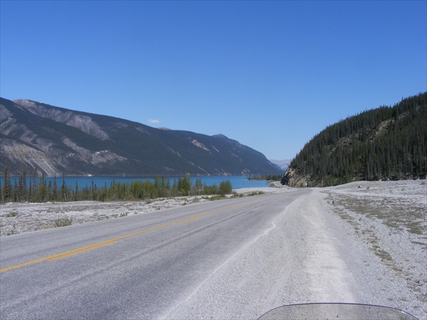
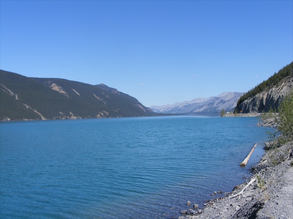
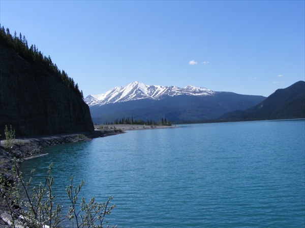
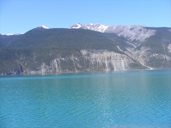
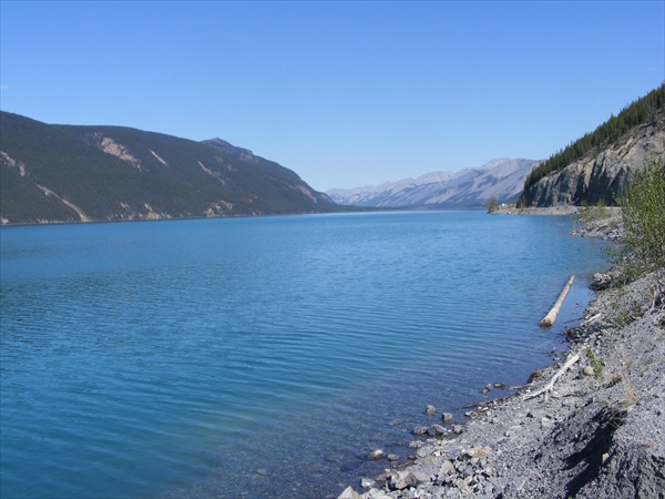
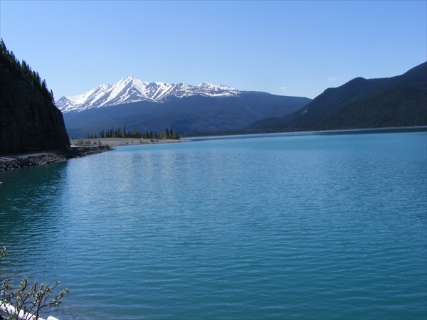
Muncho Lake
Muncho Lake Provincial Park
British Columbia


Big Horn Sheep


Wood Buffalo
- larger than the American buffalo


Black Bear


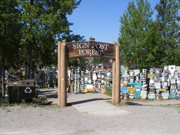
Crossed into the Yukon this afternoon and over nighting in Watson Lake.


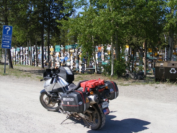
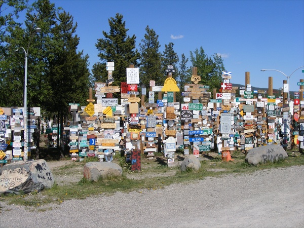
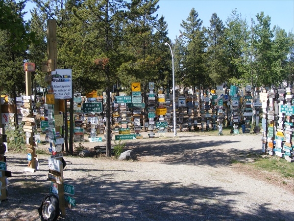
Sign Post Forest
Watson Lake, Yukon


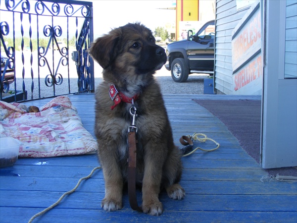
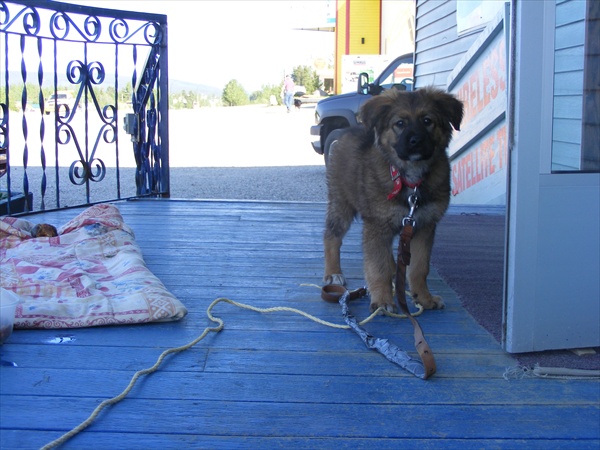
Watch dog services for the bike provided by the motel.


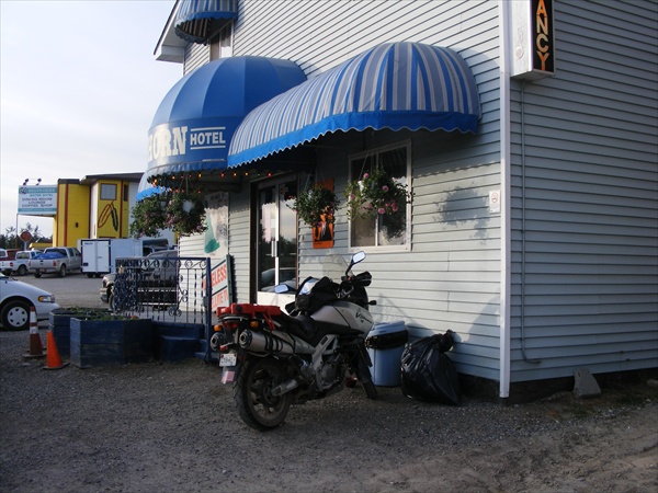
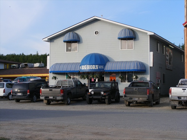
The Big Horn Motel.
Watson Lake, Yukon


In my limited experiences in riding the Rockies in the lower 48 and in Canada, my impression is that in the states the mountains are closer together and you feel more a part of them. Your views seem limited to a more local range. In Canada, the mountains seem further apart and you almost always have an extended vista all around you. You are always looking at what is coming up next. The roads have more sweepers than curves which allows for more sight seeing.

Key West to the Wilds of Canada and Alaska

May 30, 2010
Miles: 278
Total miles: 6,471
Time on Road: 6 hrs 45 min

Watson Lake, Yukon to Whitehorse, Yukon


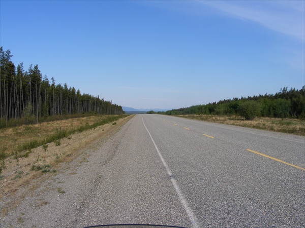
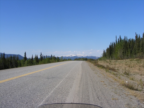
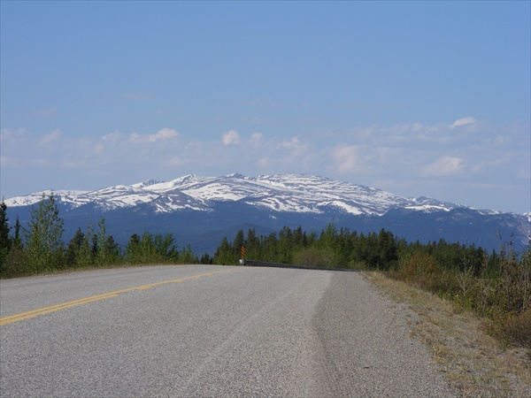
Not a lot to report for today. It was a short travel day but still a good ride. We left Watson Lake and headed west. We did not have the mountains like we did yesterday. We were riding for the most part in typical foothills. There were some larger snow capped mountains in the near distance but our route took the path of least resistance. Wildlife count was non-existence.


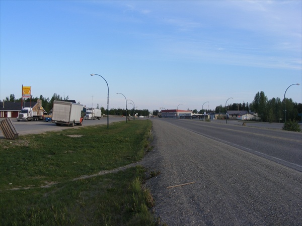
Leaving town
Watson Lake, Yukon


Alcan Highway
Yukon


It did actually get dark for a few hours last night now that we were farther south than what we had been for the last couple of nights.

Around Jake's Corner we turned north again toward the land of the mid-night sun.


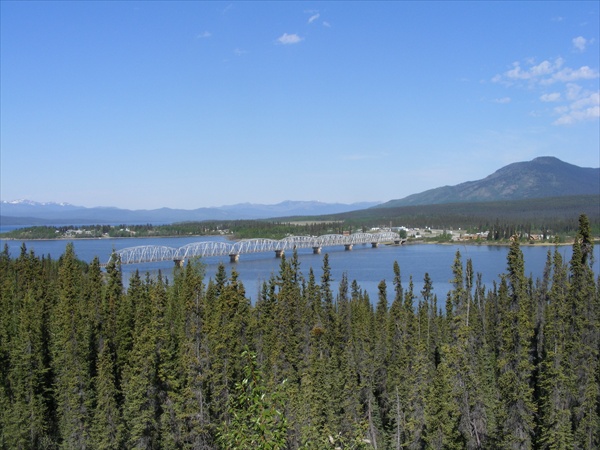
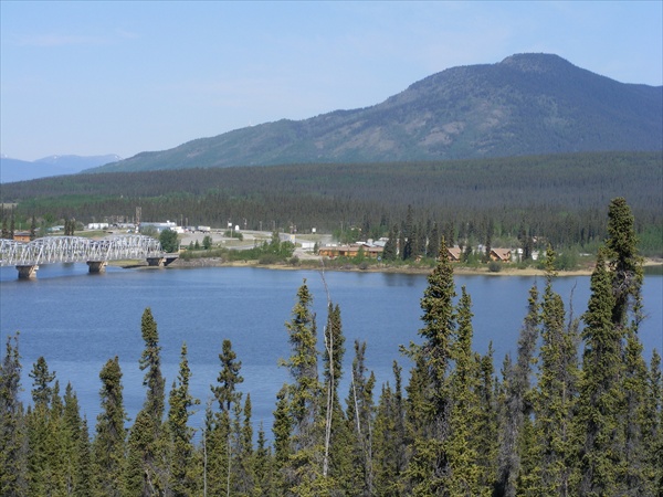
Teslin River Bridge
Yukon


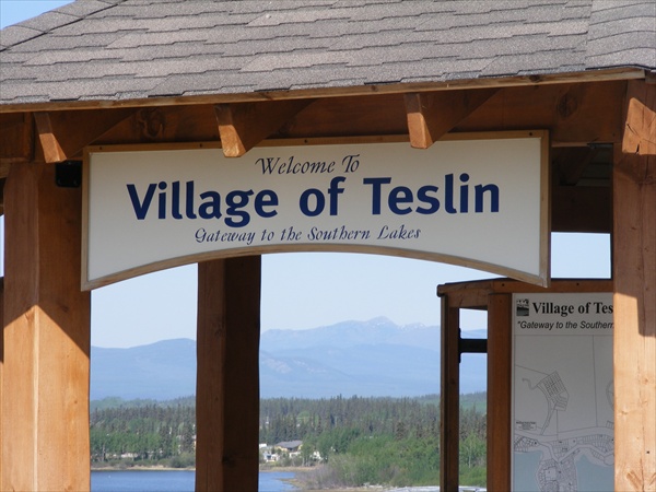
Village of Teslin
Yukon


For the last 4 days Jack and I have been riding a “check point” style. We do not try to ride together the entire time. We set up a check point either by time or place where we meet up again. This allows each of us to ride at our own pace . Stopping when we want and not always having to stop when the other person wants to. It helps to delete a lot of the double dead time. So far it has been working fairly well for us.


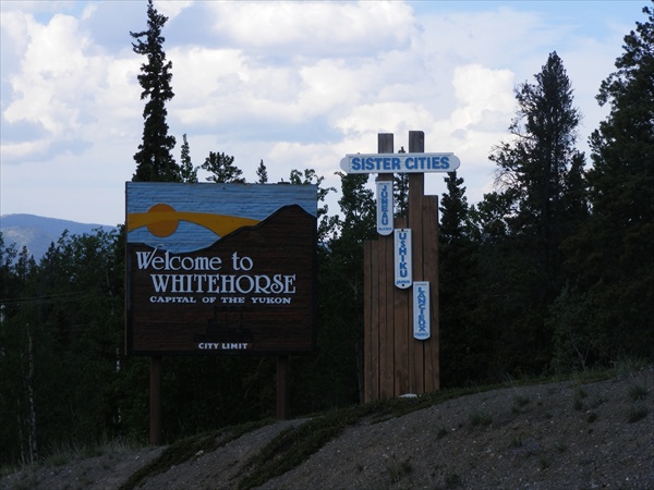
Whitehorse, Yukon


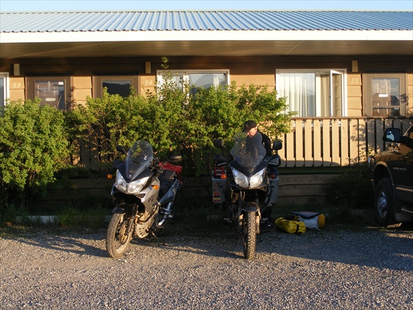
Home for the night
Whitehorse, Yukon


View from motel
Whitehorse, Yukon


Tomorrow we should be crossing back into the USA and in to Alaska.

<< Previous 1 2 3 4 5 6 Next >>   

Page 3